Types of Maps
General Purpose Maps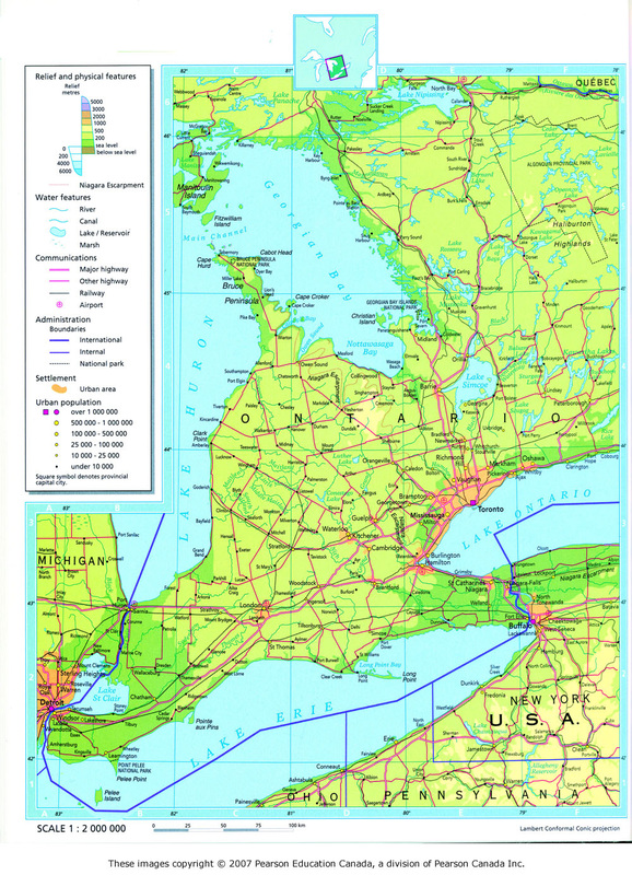
General purpose maps provide many types of information on one map. This map, for example, show relief, water features, roads and highways, boundaries, areas of settlement and population sizes.
Special Purpose Maps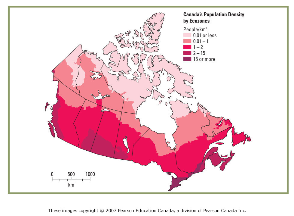
Special purpose maps are made for particular purposes such as ocean charts for navigation or climate maps to describe weather patterns. This map shows Canada's population density by ecozone.
|
Thematic Maps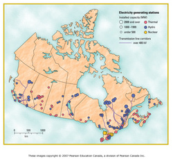
Thematic maps show information on one particular topic of theme. This map, for example, shows the locations of electricity generating stations, their type, and their energy producing capacity.
Topographic Maps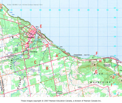
Topographic maps use symbols to show a variety of features. Topography refers to the landforms and surface configuration of a region. They graphically represent the surface features of a region.
Digital Maps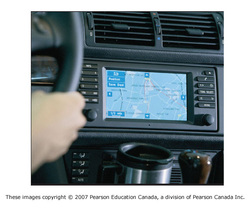
Also known as Geographic Information Systems (GIS), digital maps are interactive maps that allow the user to view different types of geographic information at the same time in order to better analyze data
|